https://explore.osmaps.com/en/route/10881676/Wayfarers–Beaconhill-Beeches
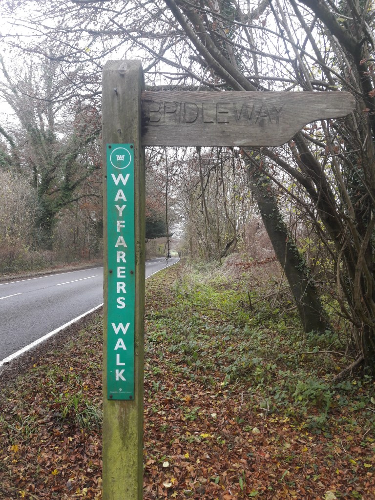
For this leg of our walk we parked at Beaconhill beeches and started walking north, past Lomer Village (which we know from last time isn’t there!!) to join the Wayfarers Walk path at Lomer Farm.
The hilarious place names continued as we walked down Betty Mundy’s Bottom! There seem to be a variety of potential explanations for the name, the earliest written record of which is from 1839. One theory is that it is from the Latin beati mundae, meaning the most beautiful place in the world. Another has it that Betty Mundy lived in a cottage there and that she would waylay discharged sailors walking along the Sailor’s Lane, murdering them for their wages or leading them to a press gang. Other stories are that she was a witch who cursed a herd of cattle and in retaliation the angry locals burnt her house down with her inside, but her rumoured hoard of gold was never found.
We cut through St Clairs farm – a predominately arable farm growing barley for malting, with collection of rare breed livestock. I was disappointed that we couldn’t see the Lop & Tamworth pigs, Southdown sheep, Dorking chickens or Norfolk black turkeys, but we did see hunt parties getting ready to go on a shoot!
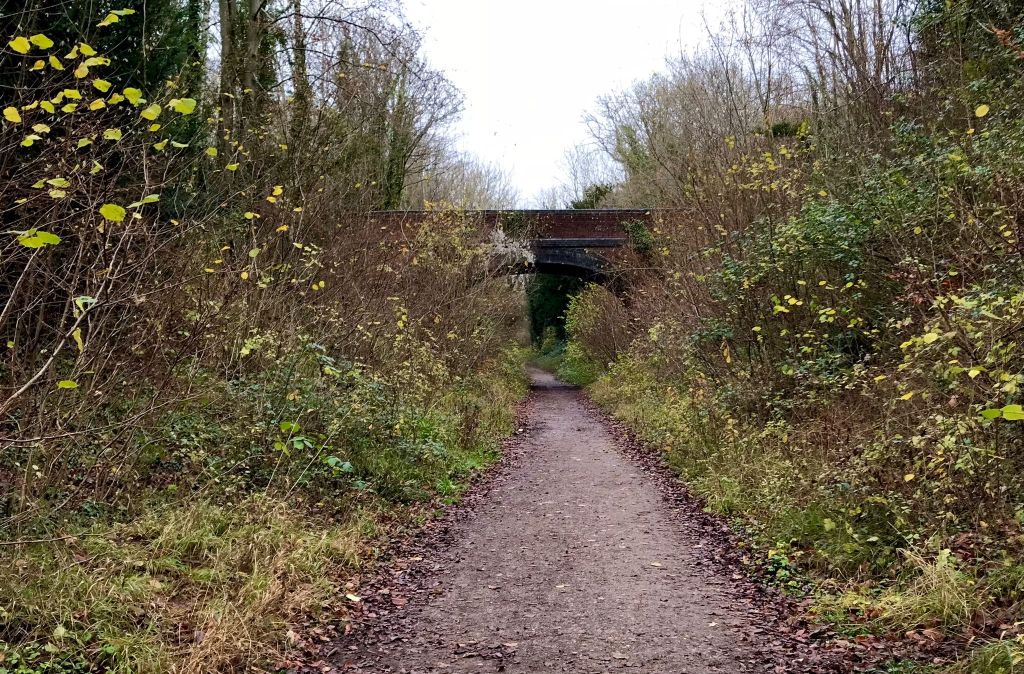
The Wayfarers then goes round Bottom Copse and up to Steynes Farm, which is supposed to date from the 1600s, but we couldn’t see it. However, we did get to inspect Corhampton Golf Club (founded in 1891) at close quarters as our path went straight through it.
By the time we came onto the road we were ready for our lunch. We passed Peak Down motorbike scrambling track and after the path left Hacketts Lane, we found a nice spot with a view towards Droxford.

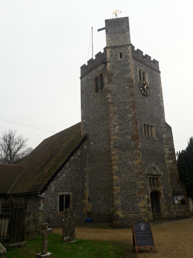
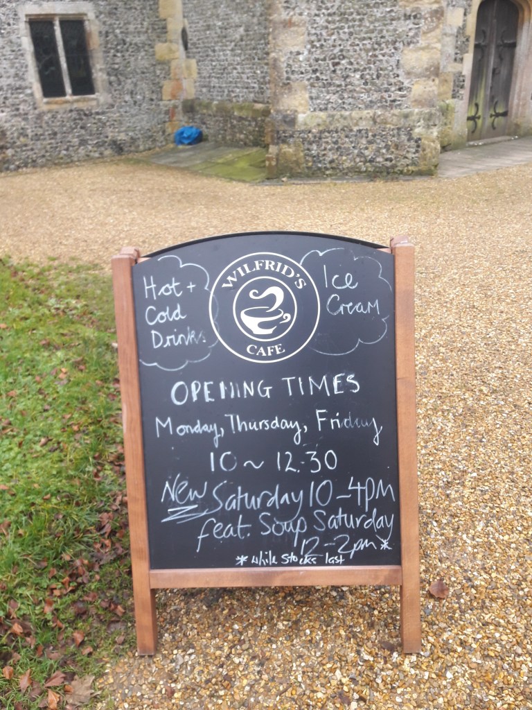
However, maybe we should have held off for another kilometre, because when we walked down into Droxford and followed the path through the church yard, we found a very welcome sight – Wilfred’s Cafe!
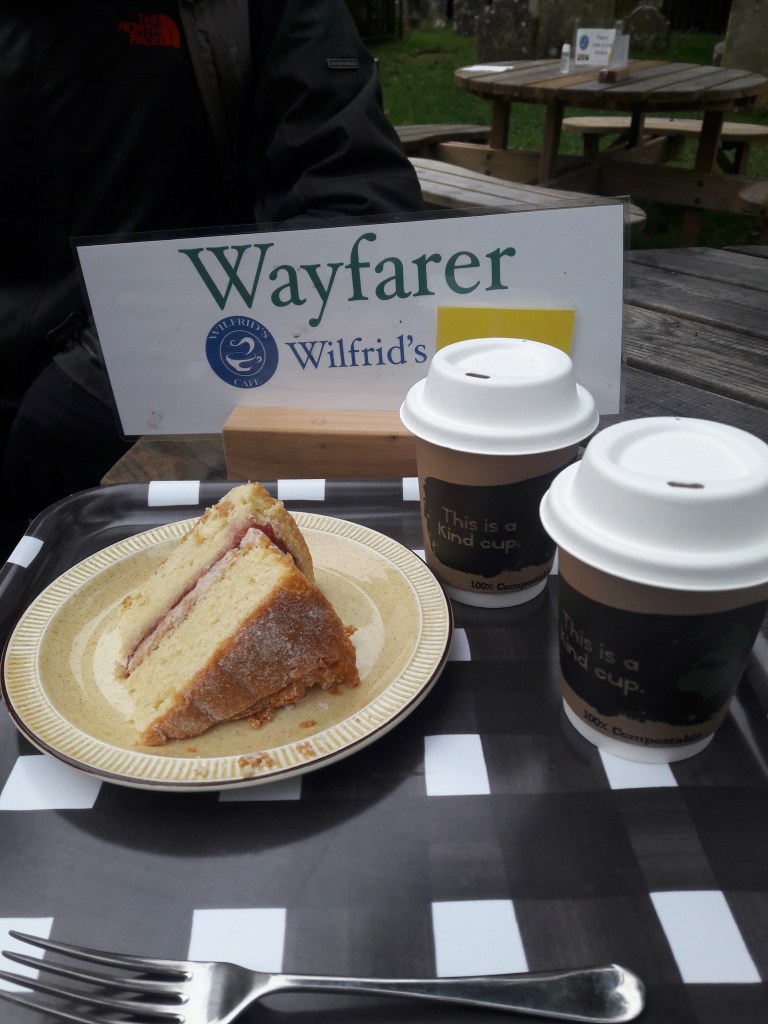
As you can see we couldn’t resist taking a seat at the Wayfarer table and treating ourselves to cake and hot chocolate!
Droxford is first recorded in 826 when King Egbert granted the Manor of Drocenesforda (Droxford) to the Prior and monks of St. Swithun, Winchester. However remains of a Jutish cemetrery at Droxford has provided evidence that a tribe of Jutes from Denmark lived here in the late 5th/early 6th century.
The railway came to Droxford in 1903 with the building of the Meon Valley Railway between Alton and Fareham. Droxford railway station was built to the north east of the village and settlement grew around the station including a hotel, railway workers’ cottages and a cluster of private homes. The railway declined in popularity in the mid-20th century and was closed to passengers in 1955, remaining open for goods services until 1962 when British Railways closed the line.
In June 1944 Droxford station was used by Winston Churchill as his base during preparations for the Normandy Landings and imminent D-Day invasion. Based in an armoured train carriage parked in the sidings at Droxford, Churchill met with numerous ministers, military commanders and leaders of allied nations. He held meetings with Generals Montgomery and Eisenhower who were putting the finishing touches to the D-Day invasion plan at nearby Southwick House. When General de Gaulle, the French leader, arrived from Algiers, he was immediately given a note from Churchill written on the Droxford train informing him of the plan. There is apparently bench in the village to commemorate this meeting of world leaders, but we didn’t come across it.
Behind the church we went over some little footbridges, but where the Wayfarers Walk goes south, we turned north towards Brockbridge. Here we did finally manage to see some rare breed pigs – this might not seem like a good picture, but it took us ages to get one with at least some of them looking our direction!!

We wanted to walk along the Meon Valley Trail on the former railway line, but struggled to find our way onto it. We did eventually find a way and followed it to Meonstoke.
Meonstoke is also an ancient place – in the 6th century a tribe of Jutes called the Meon settled along this river valley. The River Meon takes its name from them and Meonstoke from that – with stoc meaning a hamlet dependent on a larger village nearby.
In 1984 a Saxon man was discovered at Meonstoke and in 1987 a Bronze Age woman from about 3,000 BC was also discovered.
An archaeological dig in 2016 near Meonstoke revealed the foundations of a Roman building with a very rare hexagonal shape. Only one other building like it has been discovered in Britain. It is part of the same complex as a sizeable Roman building which was excavated in 1986, the façade of which is now in the British Museum.
In 1719 there was a fire in Meonstoke – 23 buildings were burned down, which was probably about half the total. In 1801, at the time of the first census, Meonstoke had a population of about 300. It remained a quiet little village right into the early 20th century – it did not have a piped water supply till 1954!
We found our way down from the disused railway line and across the main road to Exton. This is another ancient settlement – known as Essessentune at the time of the Domesday Book. The name is believed to be connected to the East Saxons (from Essex).
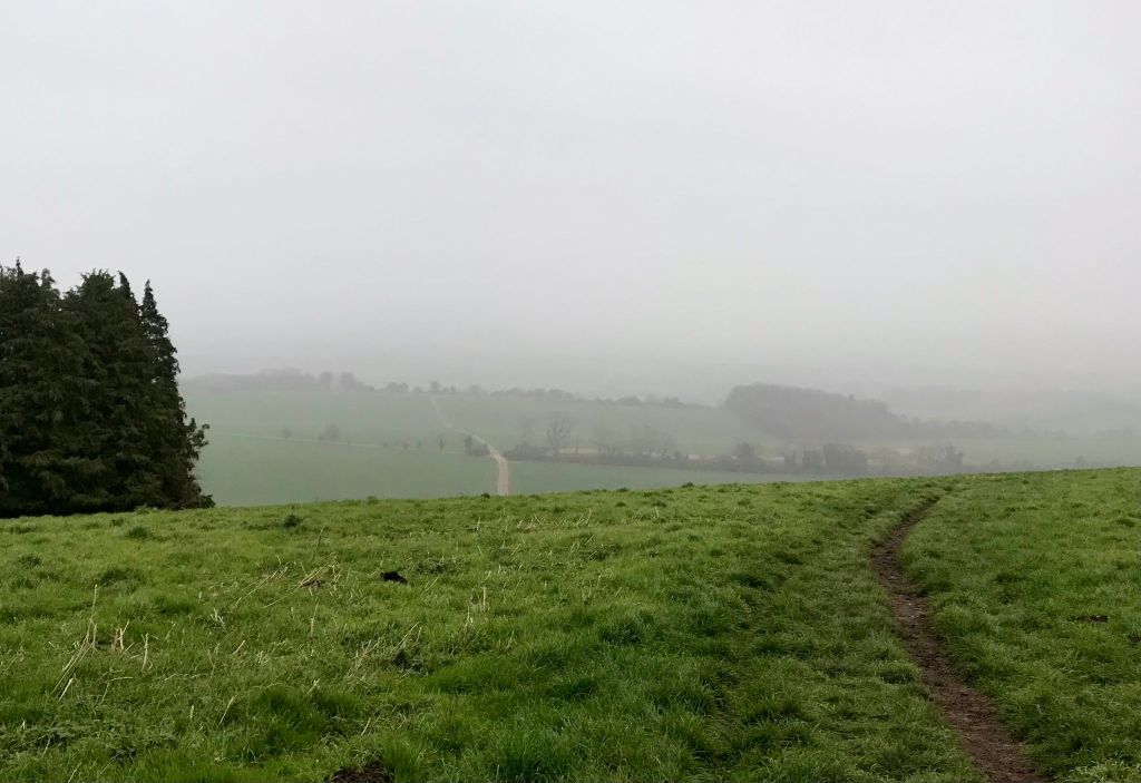
It was then uphill all the way back to Beaconhill Beeches. We had hoped to be rewarded with a view, but the clouds had come down and the rain was starting.
Instead we rewarded ourselves with a jetboil cuppa in the car park!
This circuit was about 10 miles.
Other sections of the Wayfarers Walk.
