https://explore.osmaps.com/en/route/10749231/Wayfarers–Hinton-Ampner
We started our next section of the walk at Hinton Ampner. Parking on the local road was limited, so we made use of the car park for the National Trust site. We started our walk through the gardens of this country mansion and were greeted by this friendly pair:
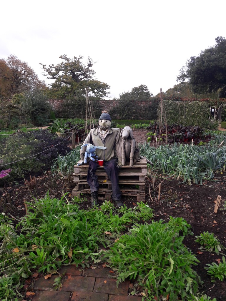
The house itself wasn’t open, which is just as well, as the days are getting shorter and we wanted to complete the circute we’d planned in the daylight. According to the sign in the garden, Ralph Dutton inherited the Victorian Gothic home and devoted many years to its transformation. When a fire sadly destroyed his creation, he immediately set about rebuilding it again.

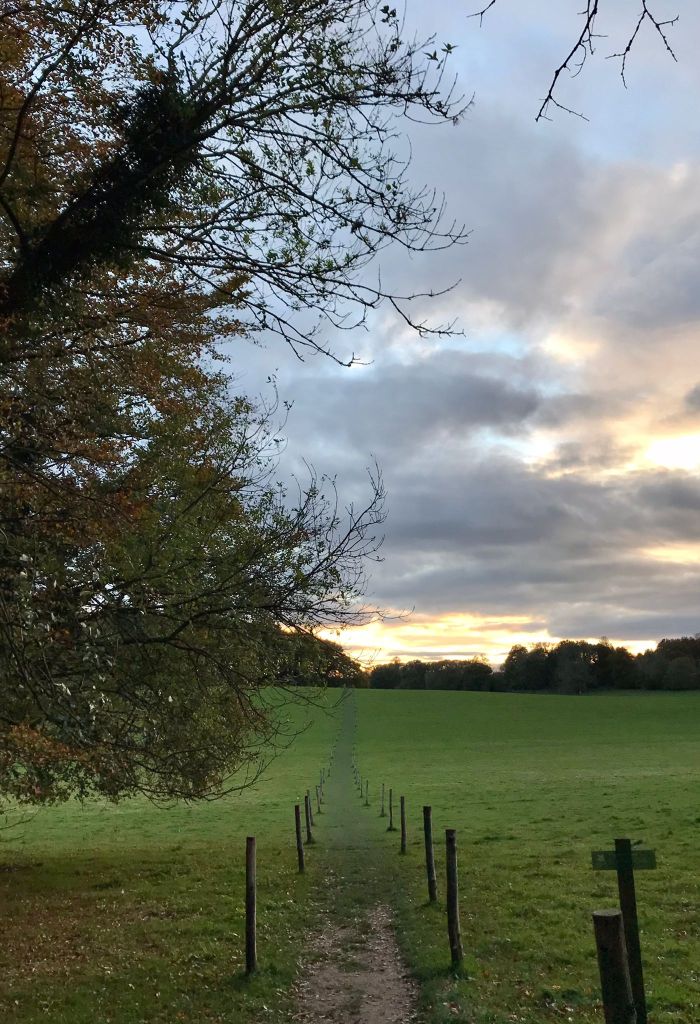
We set out across the fields – at this point we were remembering to take photos, as we’d forgotten to take many to share with you on the last leg!
We walked to the village of Kilmeston, which has an odd village hall which as ‘Russian doll’ style extensions on the side, decreasing in size! Our route was a figure of eight so we’d pass this point again later in the day.
We followed the Wayfarer’s Walk south out of the village. The field before the climb up to the road and the South Downs Way would have made a nice lunch stop, but we hadn’t walked far enough to be allowed our food, so we pressed on, crossing the road and following the track to Lomer Farm.
At this point we left the Wayfarers Walk behind. We were looking forward to seeing the remains of the missing village of Lomer. I’d read up all about it in anticipation… but firstly we almost missed the field we were supposed to look at, and even when we did look, we could only make out a few vague bumps!
We did manage to spot the pond, which is thought to have begun as a quarry for flints and then filled from underground springs. It wasn’t at all pretty, but as it was a little bit out of the wind we had our lunch here instead.
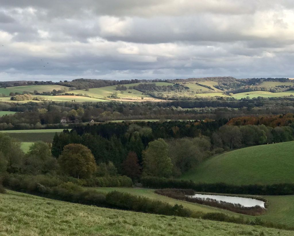
We then walked on to Beaconhill Beeches where we turned onto the Monarchs Way (a long distance path based on the lengthy route taken by King Charles II during his escape after defeat by Cromwell) and enjoyed the view over the valley.
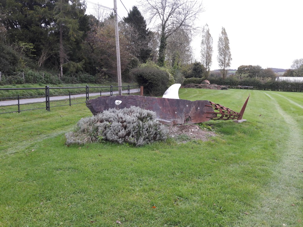
This path took us down to Wheely Down Farm where we came across a stone shark and various other sculptures by the artit blacksmiths from Wheely Down Forge.
We followed the road to Warnford, but we didn’t see anything of the village as we immediately turned left to make our way back up the hill.
We got a bit confused in the grounds of Riversdown House. Originally a fourteenth century manor house, built on the site of a Roman settlement, it is now an English language school. We made our way across the mini golf course and managed to pick up the path again through the woods. We then walked over the fields back to Kilmeston, where we’d been earlier in the day.
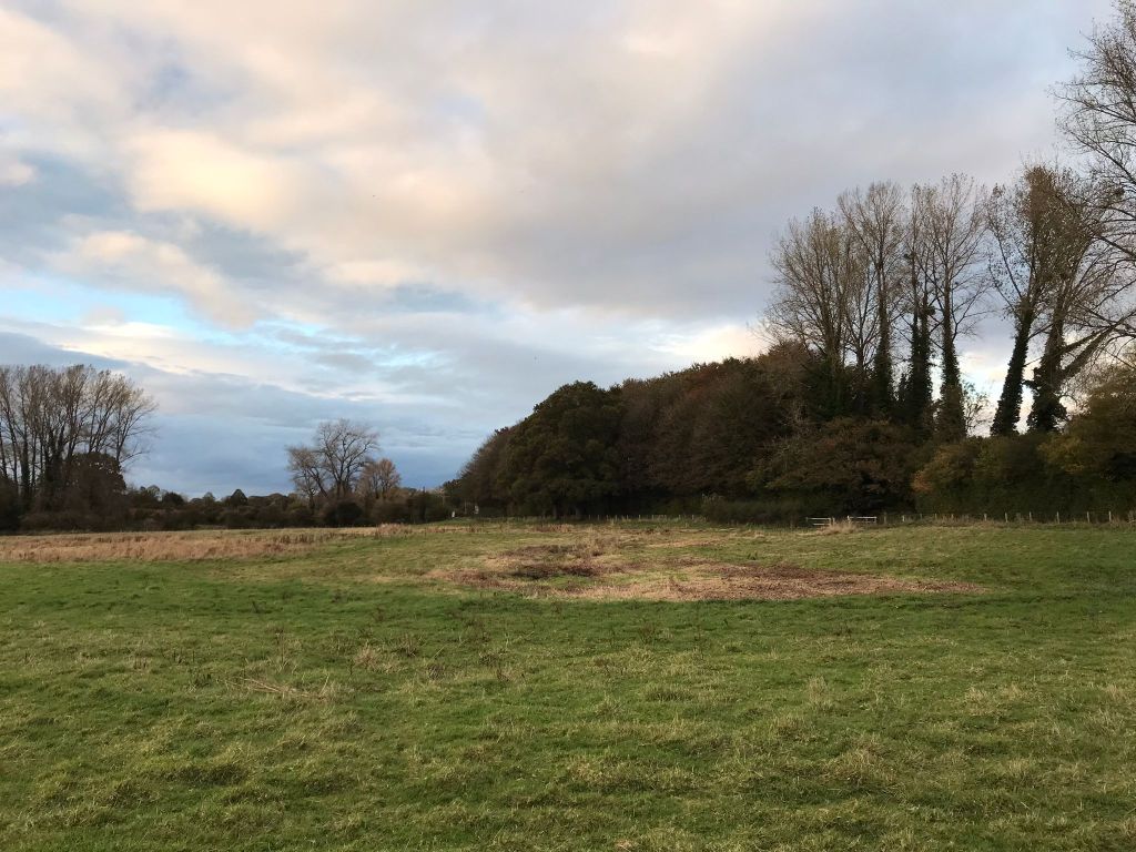
This time we kept to the road to the northwest of the village as we were keen to take in the source of the River Itchen. It’s a good job it is labelled on the map, otherwise you might just think it’s a boggy field!
From here the river will flow 26 miles to join Southampton Water below the Itchen Bridge.
We then took a path due east to join back up with the path we’d started on and returned to Hinton Ampner. We managed to make it back while it was still light, but we were too late for the coffee kiosk! Instead we made use of the trusty jet boil to fuel us for our drive home!
This circute was about 10.5 miles.
Other sections of the Wayfarers Walk
