https://osmaps.ordnancesurvey.co.uk/route/7202785/Wayfarers-Alresford
This walk started at the playing field on the corner of Rosebery Road and Grange Road in Alresford where there is a free car park – and also happened to be convenient for me to call on a friend nearby!
We walked east down Grange Road, then turned left down Jacklyn’s Lane and under the railway bridge where the carriages for the Watercress Railway park up (but more of that later!) and across the main street to follow The Dean down to the River Alre. Alresford (pronounced Allsford) means ‘The ford over the river where alder trees grow’.
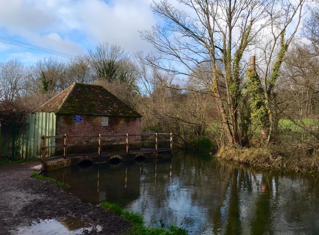
We turned left along the riverbank, crossing the river at the Eel House .
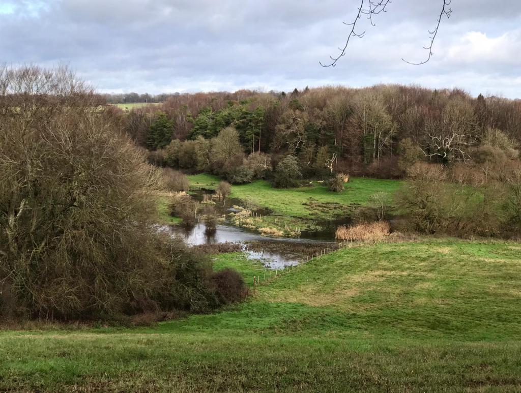
Where the path meets the road we walked away from the river, but could look down into the valley of one of the tributaries. This river flows out of the big lake we saw at Northington Grange on our last walk and joins the main river to the west of Alresford.
We avoided the temptation to walk down the lane to Abbotstone and did the two sides of the triangle as required by the Wayfarers route! This took us to where our last walk had left off, so we left the Wayfarers Walk and climbed the hill past the remains of the medieval village. This is just humps and bumps in the grass, but you can definitely see it was something! It is believed to have been a flourishing village into the 14th century, but the Black Death in the mid-14th century, followed by difficulties in the wool trade and poor harvests meant that by 1428 there were under 10 householders in the village. Interestingly a wayfaring route went from Winchester to London through Abbotstone and Old Alresford to avoid the marshy land around New Alresford. It declined in use after the construction of the Great Weir and creation of Alresford Pond made the New Alresford area passable. Combined with the increasing importance of Southampton (rather than Winchester) due in the merchant trade, the route through New Alresford became the primary route.
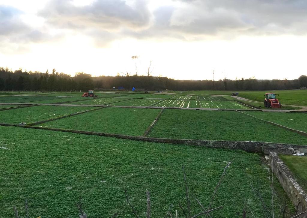
We followed the path towards Old Alresford, but just as we came to the village we turned right and followed a path by the watercress beds.
We could look across to the church in Old Alresford. There has been a church there since the 9th century. In 1875 The Mothers’ Union was founded at the church by the then rector’s wife Mary Sumner.
Watercress has always grown wild in the chalk streams and ditches in and around Alresford and with the arrival of the railway in 1865 that it became possible to transport the crop to London and the Midlands. Cress could be picked in the afternoon, transported by cart to Alresford Station in the evening and be on sale in Covent Garden, London in the early hours of the following morning.
Bore holes provide chalk-filtered water from 40 feet below the surface at a constant temperature of 10° C (51° F) all year round, keeping the watercress free from frost. Apparently on a very cold day steam can be seen floating over the beds resulting from the warmer spring water meeting the frosty air.
Hampshire is still the main watercress producing area in the country. Today mechanical harvesters and rice planters now undertake what was previously a labour intensive task. Apparently in the days before rubber boots workers wore thigh length leather boots carefully dubbined against the damp. Even so they were not damp-proof and every morning men would wrap hessian strips around their feet and legs to absorb moisture and prevent chaffing.
We rejoined the River Alre, at the Fulling mill. This dates from the 13th century and the river runs right under the house! The fulling of cloth is a process to tighten and shrink the cloth into a closely woven product. A watermill would have been used to drive hammers pound the cloth.

We walked past the memorial garden and quickly came to the town.
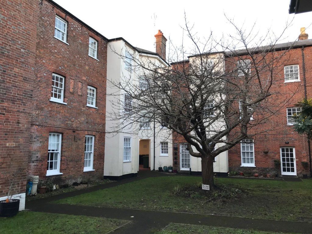
We walked up Broad Street enjoying the historic Georgian Town. For many centuries Alresford was a prosperous wool town. Most of the older buildings in the town centre are Georgian, as the town was rebuilt in brick following a great fire in 1736. At the bottom of Broad Street we saw the quaint little Old Fire Station. It continued in use until 1940.
At the top of Broad Street, which is very broad as it was laid out as a marketplace, we cut between the buildings to the churchyard of St Johns. We were walking in December and the church yard had a large nativity scene, with Christmas trees called Comfort and Joy . The trees were decorated with ribbons with prayers written on them.

Opposite the West Door of the church we also found the grave stones of four French Officers and the wife of another officer dating from the Napoleonic Wars. Britain was frequently at war with France or Spain during much of the 18th century and prisoners taken on parole were often sent to Alresford, one of eleven parole towns in Hampshire. In 1757 there were 300 French prisoners of war living in Alresford.
We found our way out the back of the churchyard back onto the Wayfarers Walk and south down Sun Lane to a road called Tichbourne Down. Just near where the Wayfarers Walk crosses the A31, is the site of the former Tichbourne Down Workhouse. This was built in 1835 to accommodate 280 inmates. This was a site of particular interest for me as my great-great-great-great grandparents died here in August 1865 .
We somehow found our way back through the residential streets to Jacklyns Lane and the railway bridge. This time we walked alongside the railway to get to the station as we were just in time to see the Steam Illuminations train!

We then warmed ourselves up with a hot chocolate at the station cafe before wandering back along the main street and going to find our cars!
This circuit was approximately 8 ½ miles
Other sections of Wayfarers Walk
